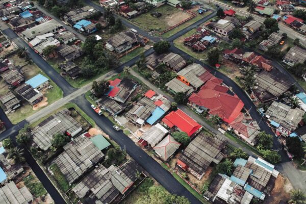
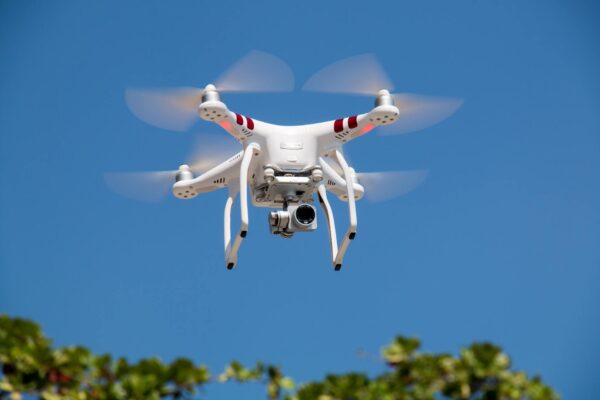
How does Drone Mapping work? Captivating New Horizons with Exceptional Drone Mapping and Ultra-Accurate Surveys in Construction

How does Drone Mapping work?...

In the dynamic realm of construction, one thing remains constant: the relentless pursuit of accuracy and efficiency. Traditionally, construction managers…
COMMUNITY

Giving back to the community

We have received a lot of support from the community ever since AI Clearing was founded, therefore we know how important it is. That is why we want to give something back to it in return. With the involvement of our team, we have collected amazing ideas that could be beneficial for the community, creating a positive impact in result.

We know choosing the right action to support is a very serious matter. The essential aspect when making decisions is the point to which we understand this issue. That is why we want to take our time and make sure we will pick the action we feel connected to the most.

Everything You Need to Know about LiDAR Drones

Everything You Need to Know...

In the world of construction, there are few technological breakthroughs as transformative as the fusion…
7 Best Construction Inspection Software

7 Best Construction Inspection Software

In the fast-paced world of construction, meticulous oversight is paramount. Construction managers and overseers are…
How to Conduct a New Construction Inspection

How to Conduct a New...

In the fast-paced and complex world of real estate development, conducting a thorough and timely…
Best Construction Tracking Apps to Try Out in 2023

Best Construction Tracking Apps to...

In today’s fast-paced construction industry, staying ahead means integrating the best technology tools available. Construction…
7 Steps to More Efficient Construction Progress Tracking

7 Steps to More Efficient...

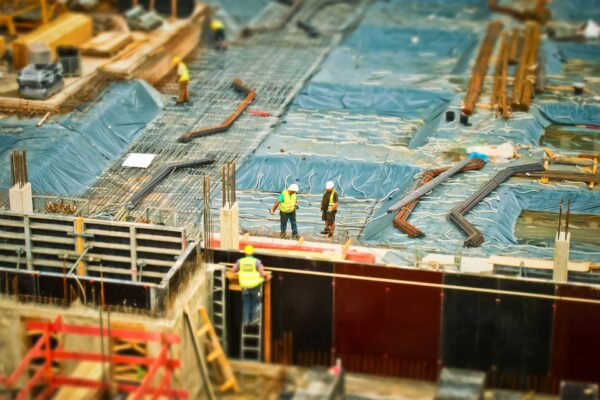
In the bustling world of the construction industry, the mantra often echoed is, “Time is…
OUR SOLUTION

AI Clearing help you with digital field construction progress tracking

We offer a SaaS solution – AI  Surveyor™ Engine – that significantly shortens construction progress tracking. AI Surveyor™ is based on machine learning solutions that automate the analytics process. The use of drone data allows creating reports, covering 100% of the construction site surface in 3 dimensions.


Along with drone-based data, our solution crunches multiple available digital data types and performs automated and advanced 4D geospatial analytics. Because of this automation, we are able to shorten the reporting cycle and deliver actionable and comprehensive reports in the form of interactive, online dashboards as well as in PDF format. In addition, we are able to feed our data and reporting outcomes directly into your organization’s existing systems.
Let's discuss now
Get in touch with us
We respond within 24 hours

We answer all email and requests as they come in. If you have an urgent matter or would like to place an order please click the link below to give us a call.